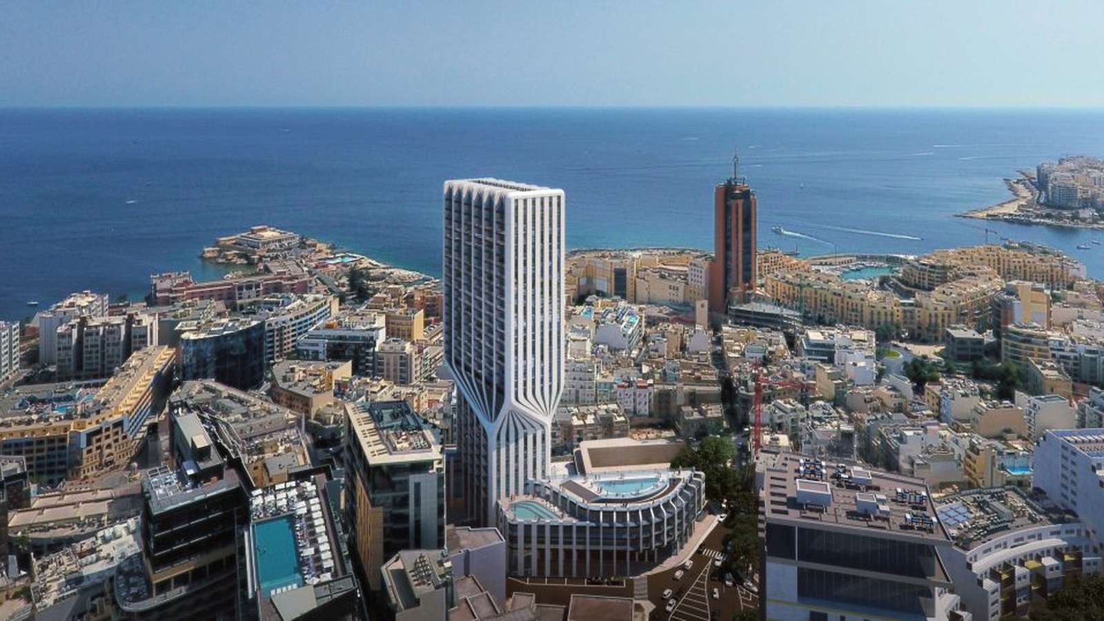


Half of Malta’s population lives on roughly 11% of its land, according to an analysis by spatial planner Kurt Muscat, who set out to map where residents actually cluster using a 1 km² population grid.
Muscat calibrated the grid to the National Statistics Office’s end-2025 locality estimates, then looked for the smallest connected group of squares holding at least half of the residents of Malta and Gozo. The result was 37 connected squares containing approximately 297,000 residents on 34.4 km² of actual land.
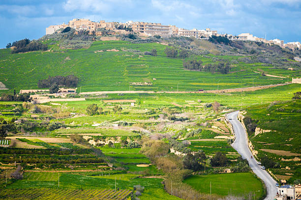
Inside that compact stretch, population density runs at around 8,600 residents per km². Outside it, the figure falls to approximately 1,040. That is an eightfold gap between the busiest connected part of the islands and everywhere else.
The picture shifts depending on how the lines are drawn. Using whole locality boundaries rather than grid squares, 25 connected localities take in half the national population on roughly 15% of the land. Muscat said the larger area reflects the need to count each locality in full rather than slice it into squares.
Both methods make the same point, he said: a national average hides how much is concealed about where people are spread across the two islands. He added that understanding where residents are concentrated matters when planning transport, public services and infrastructure.
Muscat described the work as the first in a series looking at where people live, where they work and the connections between the two.